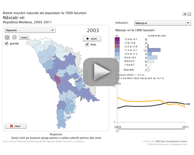
National Bureau of Statistics announces the launch of the animated map "Vital statistics".
Animated data visualisation using this application presents the changes in territorial aspect of vital statistics indicators - live births, deaths, natural increase, marriages, divorces, infant mortality - from 2003 to the present. Indicators are presented per 1000 population, infant mortality - per 1000 live births.
The application was developed in collaboration with Data Visualisation Centre of United Kingdom’s Office for National Statistics.
The animated map can be accessed from the main page - Interactive products banner and under the heading Statistical data / Population.


 Green line: 022 40 30 00